

ACCESS
- By car via Agay: take the seaside road (direction Agay) to Dramont. On the right, turn at the sign “Tiki plage” and park in the parking lot at the end of the Robinson alley.
- By bus: Line 8, Camp Long stop
Continue along the road to the Tiki beach sign, turn right onto Robinson Lane then uphill to the car park.- By train: TER 3
“Le Dramont” stopSTARTING POINT
GPS coordinates: 43.419851, 6.857629
Camp Long BeachITINERARY
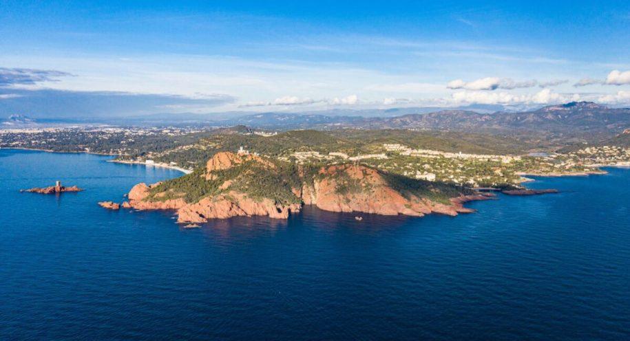
Take the small yellow marked path by the sea. This follows the cut of the rock, arriving on an overhang.
Continue to the right up the narrowing path. At the top, turn left. The path then follows the top of the cliff with stunning views.
At the next intersection, take a path on the right that climbs and joins the tarmac track. Go up to the Semaphore (bypass it on the right) to discover a breathtaking panorama.
Go back down to the intersection and continue to the right on the tarmac track which overlooks the southern slope of Cap Dramont.
At the end of the track, before taking the path to the right that takes you back to the starting point, take a detour to the left to the Port du Poussaï, a typical and colorful little port.
Leave a Reply